
University of Pretoria and CSIR Develop Innovative Maps to Enhance Precision Weeding for Maize Farmers
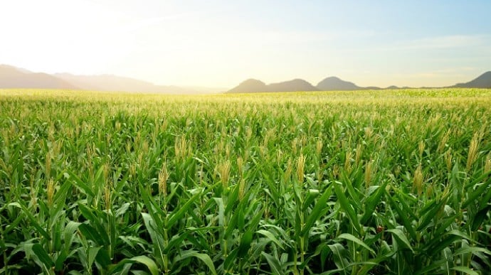
In a first for precision agriculture, University of Pretoria (UP) researchers, in association with collaborators from the Council for Scientific and Industrial Research (CSIR), have produced maps of smallholder farms in Gauteng that highlight maize plants in green and weeds in red. The maps were shared with farmers to enable them to pinpoint and eradicate weeds with more precision.
UP master’s student Yoliswa Mkhize wrangled images taken by the Copernicus Sentinel-2 satellite into simple maps that distinguish between weeds and maize. Mkhize was co-supervised by Professors Abel Ramoelo, an expert in Earth observation, and Moses Azong Cho, an extraordinary professor in UP’s Department of Plant and Soil Sciences.
“Farmers who use satellite imagery and other remote-sensing technologies are able to practise ‘precision agriculture’, explains Prof Ramoelo, who is the Director of UP’s Centre for Environmental Studies (CFES).
In terms of weed control, this means that instead of spraying an entire crop area, weeds can be removed precisely where they grow as soon as they emerge. Farmers not only save time and money by cutting down the cost and effort required to manage weeds, but also limit the environmental impact of using harmful weed-killing chemicals.
“The innovation here is the timely detection of these weeds, based on locally calibrated data,” Prof Ramoelo says. “We can get a new image every five days, provided there is minimal cloud cover.”
He adds that while raw data and imagery from Sentinel-2 are free to access, the files are usually too large for personal computers and expensive to process into usable formats, and that scientific expertise is often needed to interpret or convert the data into usable formats such as the maize-weed maps that the researchers have created.
The maps were published in the journal Physics and Chemistry of the Earth in collaboration with the CSIR, where Mkhize, Prof Cho and their other co-authors were largely based for the study.
Similar maps could also be generated for other crops in other parts of the country and continent, says Prof Ramoelo. The CSIR is working on an easy-to-use tool that will allow farmers to download and view these maps.
Gauteng maize farmers, Mr A Njoro, Mr W Sikhosana and Mr V Mahlangu, gave Mkhize access to collect data on the ground to validate her study.
“UP is tapping into the CSIR’s partnerships with the farmers,” says Prof Ramoelo, adding that this collaboration demonstrates the University’s emphasis on relevant research that contributes to society. “We are also working with the CSIR on other precision agriculture projects like detecting disease in potato crops; estimating maize water use so that farmers can optimise irrigation with remote-sensing technology; and estimating nutrients to optimise fertiliser use.”
Prof Ramoelo adds that remote-sensing goes far beyond precision agriculture. His team at the CFES works with staff and students across UP faculties on other projects around land use and land cover changes, biodiversity monitoring, water resource management, wildfire monitoring, detecting grass nutrients to understand animal grazing patterns, and even climate change impact assessments.
He says demand for satellite data in South Africa and the rest of the continent is booming, among researchers and users alike, including farmers. It is therefore risky, he says, to continue relying solely on European satellite sensors like Sentinel-2.
“I see it as a challenge, but also as an opportunity for the South African National Space Agency (SANSA) to start looking at satellite applications for societal relevance, and to encourage the development of our own systems and our own satellites that are launched under the auspices of South Africa,” Prof Ramoelo says.
He adds that SANSA and the Department of Science and Innovation are already implementing national policies to support decision-making in the farming sector.
“UP’s role is to share innovations at the frontiers of precision agriculture with such organisations, including these simple colour maps that show weeds lurking in maize,” Prof Ramoelo says.