
New Tool Offers Highly Localized Climate Projections for Minnesota Communities
A new interactive online tool, MN CliMAT, provides highly localized climate projections across Minnesota — down to the 2.5-mile scale. Users can use data to visualize how even specific towns may be impacted in the coming decades.
Recently launched by the University of Minnesota Climate Adaptation Partnership (MCAP) in partnership with the Minnesota Department of Commerce, the tool includes detailed information about temperature, precipitation, lake temperature, ice cover, soil moisture and other variables vital to informing how and where we prepare for the impacts of climate change.
“These data are critical for understanding our local climate risks and what future we need to prepare for,” said Heidi Roop, MCAP director. “We’re hearing from engineers, planners, foresters, farmers, homeowners — folks across the board — that they want future climate information relevant to Minnesota to inform and guide their planning and decision-making.”
Available to all at no charge, MN CliMAT can be used by the public, policymakers and a range of sectors and industries. For example:
- The agricultural industry can estimate future soil moisture, allowing farmers to make needed investments in resilience strategies.
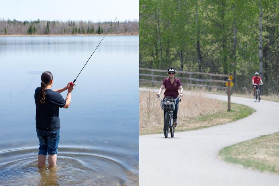
- The tourism industry and anglers will benefit from understanding future lake temperatures and ice cover duration, helping to inform how ecosystems and recreation patterns may shift.
- Engineers and planners can use the tool to inform how and where to build critical infrastructure meant to last for generations.
MCAP is also committed to helping the public and professionals learn how to apply the data — staff are offering an ongoing series of webinars and in-person workshops across the state.
“Creating new climate projections is only the first step in planning for climate change,” said Suzi Clark, a climate resilience Extension educator with MCAP. “We want to help people understand the projections and integrate these data into their long-term planning.”
MN CliMAT, which uses the latest generation of global and regional climate models, was funded with support from the Minnesota Department of Commerce, University of Minnesota Extension, and the Minnesota Sea Grant College Program with funds from the National Oceanic and Atmospheric Administration.