
USP Project Charts Informal Green Spaces Across São Paulo Metro Region
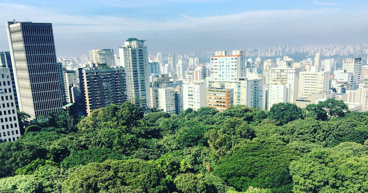
Among the many green areas in São Paulo, there are those recognized as such – Parque Villa Lobos, Ibirapuera and conservation units – and there are also many others that are not included in the data. That’s what a group from the Center for Metropolis Studies at the University of São Paulo wanted to change. To represent it, researcher José Donizete Cazzolato comments on the project. Green areas were identified, that is, areas with permeable soil and relative forestation, which are not included in groups.
The areas
The areas used for the study varied greatly. José Cazzolato gives the example of the contrast between Villa Lobos and Cidade Universitária. The first is a state park, while the USP university campus does not officially count as a park, despite having many characteristics of one. The project consisted of bringing together these green areas, “from a military area to a vaccine production area [like the Butantan Institute]”, he exemplifies, adding that “not just any area, but the most significant ones” were used.
To give a reference, he talks about areas starting at 10 thousand square meters. He emphasizes, however, that a very rigid method was not created, relying more on common sense and concrete cases.
applications
The use of this study could have an impact on the areas of geography and social studies. Simply pass the information to a georeferenced database and the data can be used for other projects.
The researcher gives some ideas for applications: “We can make measurements, dimensional correlations and we can relate, for example, whether there are areas of more precarious occupation, areas of precarious settlements close to green areas”. This way, it is possible to have more precise measurements and references for the phenomenon being studied.